PAUWES Data Portal
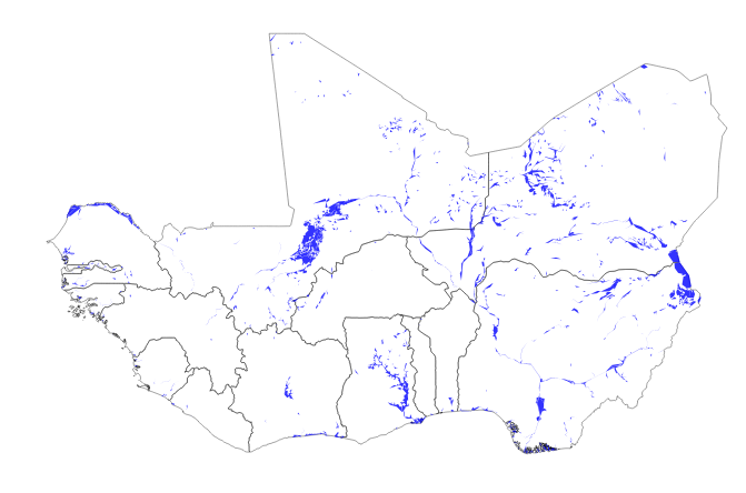
Water Areas
Simple
- Date (Publication)
- 2012-09-30T08:00:00
- Presentation form
- Digital map
- Status
- Completed
- Maintenance and update frequency
- Unknown
- Theme
-
- West Africa, ECOWAS
- Water areas
- Lakes
- Rivers
- Dams
- Water zones
- Land cover
- Access constraints
- License
- Other constraints
- http://www.diva-gis.org
- Spatial representation type
- Vector
- Denominator
- 20000000
- Metadata language
- English
- Topic category
-
- Environment
- Begin date
- 2009-12-30T08:00:00
- End date
- 2009-12-31T08:00:00 Before
))
- Reference system identifier
- WGS 84 (EPSG:4326)
- Distribution format
-
-
OGC:OWS-C
(
)
-
OGC:OWS-C
(
)
- OnLine resource
-
DIVA-GIS country data
(
WWW:LINK-1.0-http--link
)
DIVA-GIS is developed by Robert Hijmans. Previous versions were co-developed with Edwin Rojas, Mariana Cruz, Rachel O'Brien, and Israel Barrantes. Their objective is to develop a free, and simple but versatile GIS program, that is particularly useful for studying the distribution of biodiversity.
- OnLine resource
- http://www.ecowrex.org/mapView/?mclayers=layerWater ( WWW:LINK-1.0-http--link )
- OnLine resource
-
water_areas
(
OGC:WMS
)
Water areas
Conformance result
- Date (Publication)
- File identifier
- 4e6b4901-b03c-47a2-be53-f4100563ed9b XML
- Character set
- UTF8
- Hierarchy level
- Service
- Date stamp
- 2018-03-22T13:15:42
Overviews
Spatial extent
Provided by