PAUWES Data Portal
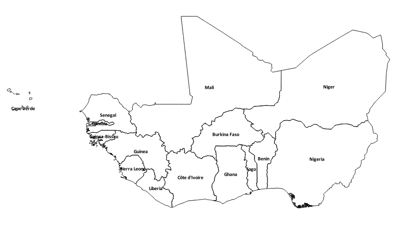
ECOWAS Country Boundaries
Simple
- Date (Publication)
- 2012-09-30T08:00:00
- Presentation form
- Digital map
- Status
- Completed
- Maintenance and update frequency
- As needed
- Theme
-
- ECOWAS, West Africa
- Boundaries
- Spatial data
- Administration
- Country, countries
- National boundaries
- Access constraints
- License
- Other constraints
-
From DIVA-GIS:
The contents of this files are used with permission, subject to the Mozilla Public License Version 1.1 (the "License"); you may not use this file except in compliance with the License. You may obtain a copy of the License at http://www.mozilla.org/MPL/MPL-1.1.html
Copyright (c) 2000, Frank Warmerdam
Permission is hereby granted, free of charge, to any person obtaining a copy of this software (DIVA-GIS, "the Software") and associated documentation files, to deal in the Software without restriction, including without limitation the rights to use, copy, modify, merge, publish, distribute, sublicense, and/or sell copies of the Software, and to permit persons to whom the Software and information is furnished to do so, subject to the following conditions:
The information is provided "as is", without warranty of any kind, express or implied, including but not limited to the warranties of merchandability, fitness for a particular purpose and non infringement. In no event shall the authors or copyright holders be liable for any claim, damages or other liability, whether in an action of contract, tort or otherwise, arising from, out of or in connection with the information or the use or other dealings in the information.
- Spatial representation type
- Vector
- Denominator
- 20000000
- Metadata language
- English
- Topic category
-
- Boundaries
- Begin date
- 2010-12-30T00:00:00
- End date
- 2011-12-28T23:55:00 Before
))
- Reference system identifier
- WGS 84 (EPSG:4326)
- Distribution format
-
-
OGC:OWS-C
(
)
-
OGC:OWS-C
(
)
- OnLine resource
-
DIVA-GIS country data
(
WWW:LINK-1.0-http--link
)
DIVA-GIS is developed by Robert Hijmans. Previous versions were co-developed with Edwin Rojas, Mariana Cruz, Rachel O'Brien, and Israel Barrantes. Their objective is to develop a free, and simple but versatile GIS program, that is particularly useful for studying the distribution of biodiversity.
- OnLine resource
- ECOWREX Map Viewer ( WWW:LINK-1.0-http--link )
Conformance result
- Date (Publication)
- File identifier
- 8c3cc92e-b44a-414d-94e1-a8db8d2eb5e7 XML
- Character set
- UTF8
- Hierarchy level
- Service
- Date stamp
- 2018-03-22T13:05:15
Overviews
Spatial extent
Provided by