 PAUWES Data Portal
Keyword
Spatial data
Keywords
Contact for the resource
Provided by
Formats
Representation types
Update frequencies
status
Scale
From
1
-
4
/
4
-
The layer provides quantitative information about the inhabitants main points in the different countries for the ECOWAS region
-
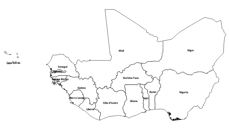
National administrative boundaries of ECOWAS countries: Benin, Burkina Faso, Cabo Verde, Côte d'Ivoire, Gambia, Ghana, Guinea, Guinea Bissau, Liberia, Mali, Niger, Nigeria, Senegal, Sierra Leone and Togo
-
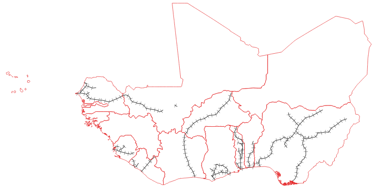
Data provides an estimated framework of the current railway network in the ECOWAS region
-
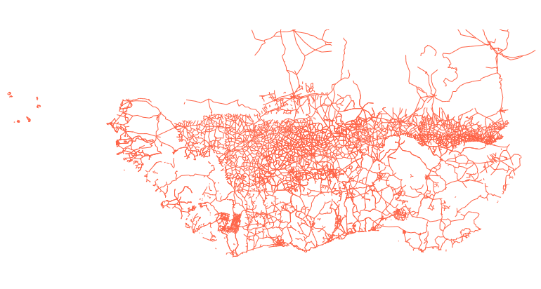
Estimated data of the entire primary and secondary road network in West Africa including the road surface type, condition and traffic volume in shapefile format. Data was compiled by TECSULT for the Infrastructure Consortium for Africa (ICA), a project which was led by the World Bank.