 PAUWES Data Portal
asNeeded
Keywords
Regions
Contact for the resource
Provided by
Years
Formats
Representation types
Update frequencies
status
Scale
Resolution
-

Precipitation data Ouri-Yori-2/Benin Measured parameters: Precipitation Timestep: daily
-

This table contains data related to the drivers which significantly influenced deforestation and forest degradation in the wildlife reserve of Bontioli in Burkina Faso (West Africa).
-
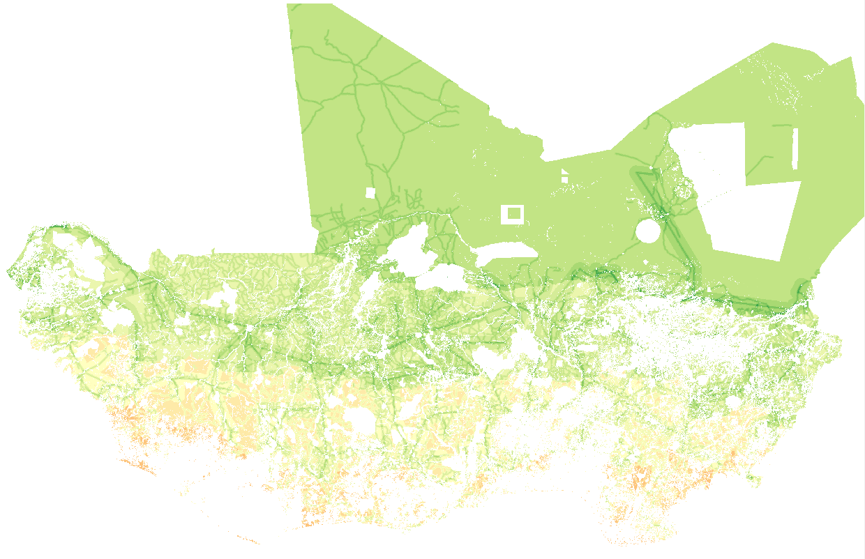
The suitability maps, contain information on locations suitable for installation of the respective solar systems in accordance with the restrictive criteria adopted. Locations are evaluated according to their suitability for solar systems deployment according to topographical, legal, and social constraints, as well as factors that could facilitate or impede solar generation development. The study is conducted on a regional scale. The results can be used for identification of potential areas of interest for solar generation deployment, and as a support for integration between electricity grid expansion and off-grid electrification policies.
-

Climate data Koupendri/Benin Measured parameters: Air temperature Relative humidity Solar radiation Precipitation Windspeed Winddirection Timestep: daily
-

Climate data Yabogane/Burkina Faso Measured parameters: Air temperature Relative humidity Solar radiation Precipitation Windspeed Winddirection Timestep: daily
-

The resource was developed by NEXANT (EEUU) for ECREEE using 3TiER global dataset. The methodology is explained in the resource below available for downloading. Dataset is available in raster format (.geotiff) with a resolution of 3,5 km.
-
Climate data Nagassega/Benin Measured parameters: Air temperature Relative humidity Solar radiation Precipitation Windspeed Winddirection Timestep: hourly
-

This dataset is the sixth of a series of datasets addressing farmers' adaptation to climate change in West-Africa, specifically in Dassari, Benin. This data was obtained by interviews with smallholder farmers from various communities in the Dassari basin. It provides information on the household level on farming history, fertilizer use, crop rotation practices and the farmers' motivation behind changing their practice. Soil sample data provides information on N,P,K, C content with the intention of evaluating residual effect of fertilizer in soil. Data includes questionaire and results, and soil sample data all corresponding to multi-year study of fields. The coordinates of the soil sample plots can be obtained upon request to the author due to data privacy protection demands.
-

These daily mean temperature data were collected from the Msembe station at Great Ruaha river basin in Iringa. The data were collected from 1990 to 2018 by Tanzania Meteorological Agency.