 PAUWES Data Portal
Wind
Keywords
Regions
Contact for the resource
Provided by
Years
Formats
Representation types
Update frequencies
status
Scale
-
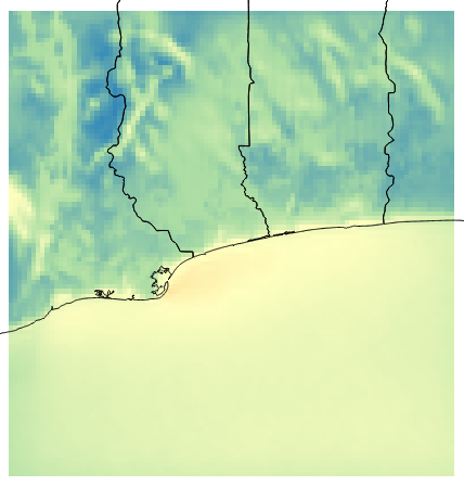
Created by NOVELTIS for ECREEE during the ACP-EU project ECOWREX 2: Promoting Sustainable Energy Development through the use of Geospatial Technologies in West Africa This dataset shows the average Wind Power Density at 40 meter high over the year 2013. The average is calculated from hourly time series data generated by NOVELTIS meso-scale Numeric Weather Prediction system. The resolution is 4km x 4km. The unit is W/m2. Projection is latlon, EPSG 4326, WGS 84. This dataset is not indicated for local studies but only for regional comparison. The annual average was calculated from hourly time series data generated by NOVELTIS meso-scale Numeric Weather Prediction system over the full 2013 year. The values are calculated from NWP output extracted parameters: U = West-East component of the wind speed V = South-North component of the wind speed. ALT = inverse density AL = inverse perturbation density According to the following formula: WPD = 1/2* 1/(ALT+AL) * (WS)3 With WS = √(U2 + V2) The 2013 year was selected by NOVELTIS as TMY (typical meteorological year) through a regional climatic analysis for the period from 2000 to 2014. Minimum=23.017 W/m2 Maximum=183.230 W/m2 Mean=94.257 W/m2 StdDev=34.158 W/m2
-
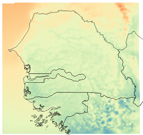
Created by NOVELTIS for ECREEE during the ACP-EU project ECOWREX 2: Promoting Sustainable Energy Development through the use of Geospatial Technologies in West Africa This dataset shows the average Wind Speed at 60 meter high over the year 2013. The average is calculated from hourly time series data generated by NOVELTIS meso-scale Numeric Weather Prediction system. The resolution is 4km x 4km. The unit is m/s. Projection is latlon, EPSG 4326, WGS 84. This dataset is not indicated for local studies but only for regional comparison. The annual average was calculated from hourly time series data generated by NOVELTIS meso-scale Numeric Weather Prediction system over the full year 2013. The values are calculated from NWP output extracted parameters at a level close to 60 meter: U = West-East component of the wind speed V = South-North component of the wind speed. The 2013 year was selected by NOVELTIS as TMY (typical meteorological year) through a regional climatic analysis for the period from 2000 to 2014. Minimum=2.510 m/s Maximum=8.230 m/s Mean=5.485 m/s StdDev=0.822 m/s
-
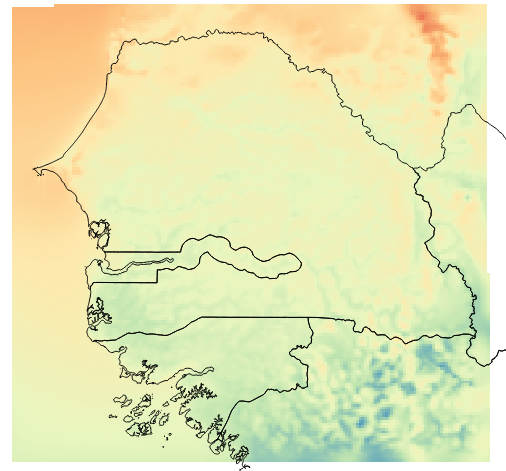
Created by NOVELTIS for ECREEE during the ACP-EU project ECOWREX 2: Promoting Sustainable Energy Development through the use of Geospatial Technologies in West Africa This dataset shows the average Wind Speed at 80 meter high over the year 2013. The average is calculated from hourly time series data generated by NOVELTIS meso-scale Numeric Weather Prediction system. The resolution is 4km x 4km. The unit is m/s. Projection is latlon, EPSG 4326, WGS 84. This dataset is not indicated for local studies but only for regional comparison. The annual average was calculated from hourly time series data generated by NOVELTIS meso-scale Numeric Weather Prediction system over the full year 2013. The values are calculated from NWP output extracted parameters at a level close to 80 meter: U = West-East component of the wind speed V = South-North component of the wind speed. The 2013 year was selected by NOVELTIS as TMY (typical meteorological year) through a regional climatic analysis for the period from 2000 to 2014. Minimum= 2.609 m/s Maximum= 8.5 m/s Mean= 5.78 m/s StdDev= 0.804 m/s
-
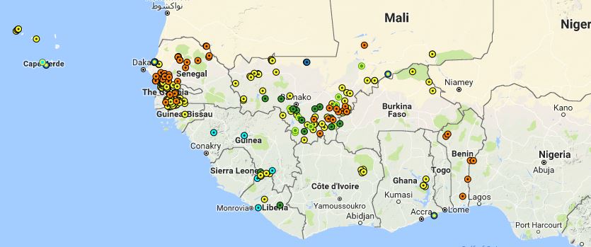
Operational Clean Energy Mini-grids in the ECOWAS region. The projects provided are based on the best available data, either reported by national experts from Rural Electrification Agencies in the countries, other relevant institutions or CEMG operators. The dataset contains the projects for which the location is known (geographic coordinates). To check the complete list of operational CEMGs please visit the country profiles section on ECOWREX
-
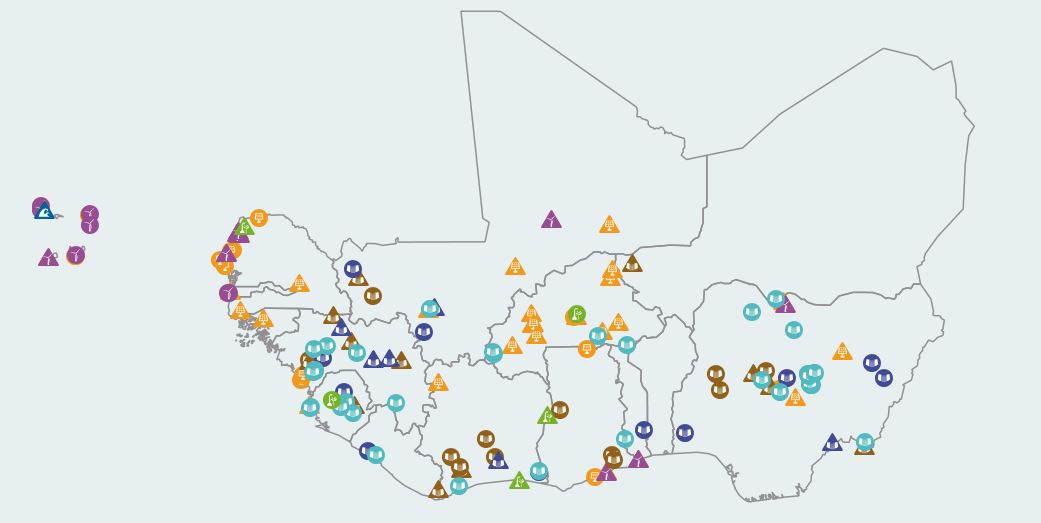
Includes Data for PV plants, Wind plants, Hydro Power plants, Biomass plants, Ocean Wave plants and conventional energy power plants (coal, diesel, gas and heavy fuel plants) categorized accordingly as operational or planned within a wide range operating capacity. The data is compiled by ECREEE from various sources including: Ministries of Energy of ECOWAS member states, National Information of Energy System reports (SIE), official national utilities websites and reports and the West African Power Pool (WAPP) database. HYDRO POWER PLANTS (information reviewed and updated in 2016): Regarding the information on hydro power plants (small, medium and large): First, the capacity class is according to the ECOWAS classification (small < 30MW, medium 30-100 MW, large > 100 MW). Secondly, the dataset was created using the following methodology: 1. Data on existing and planned hydropower facilities in West Africa was collected from various sources. The main databases investigated were: - ECOWREX database before December. 2015 - GranD database version 1.1 of March 2011 - Aquastat database on dams in Africa of July 2013 - List of “Hydropower & Dams in Africa 2014” in the International Journal on Hydropower & Dams 2015 special issue on “Water Storage and Hydropower Development for Africa” - JICA Nigeria Master Plan - SHP News, Spring 2005: “Small Hydropower – An important renewable Energy source for rural electrification in Nigeria”. Information about the small scale HPPs around the Jos Plateau (Nigeria) - Small Hydropower Projects in Nigeria, Yekinni et al., IJRRAS 22(1), 1/2015 - Website Guinea: http://www.sieguinee-dne.org/index.php/cartographie.html - Map of hydroelectric powerplants in Burkina Faso - World Small Hydropower Development Report 213 - Ghana information Main Power Generation Excel table provided by ECREEE - International Water Power & Dam Construction, Yearbook 2012, table “Dams & hydro plants”. - SE4ALL database by Mr. Pascal Habay - Additional sources: Many individual pieces of information were collected from HPP design documents, research reports, reports by governmental authorities and non-governmental organizations, corporate communiques and reports, newspaper articles etc. 2. Existence and location of the facilities were checked with the aid of satellite imagery. When a location was verified, the exact coordinates were taken from the corresponding point on the river network (GIS vector layer derived from Hydrosheds). 3. For all existing HPPs (operational HPPs and HPPs under construction and under refurbishment), existing information was compared and cross-checked and the most plausible values included in the attribute table. At several HPPs different data sources listed different values e.g. for the installed capacity or dam height. For planned, proposed and identified HPPs, the information from ECREEE and SE4ALL databases was adopted without further investigation